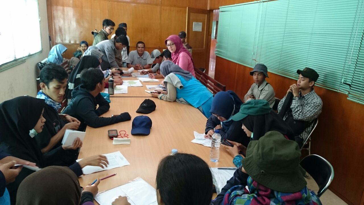
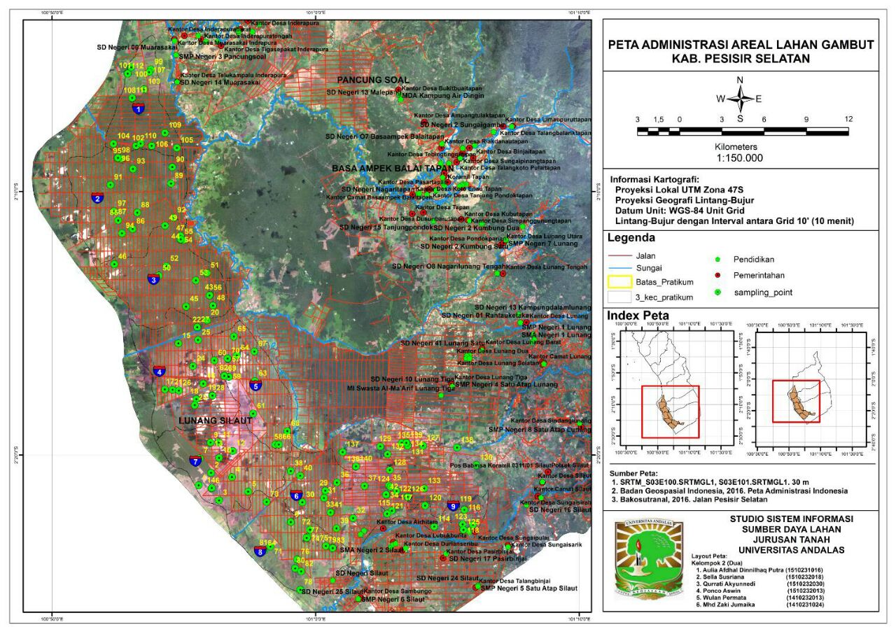
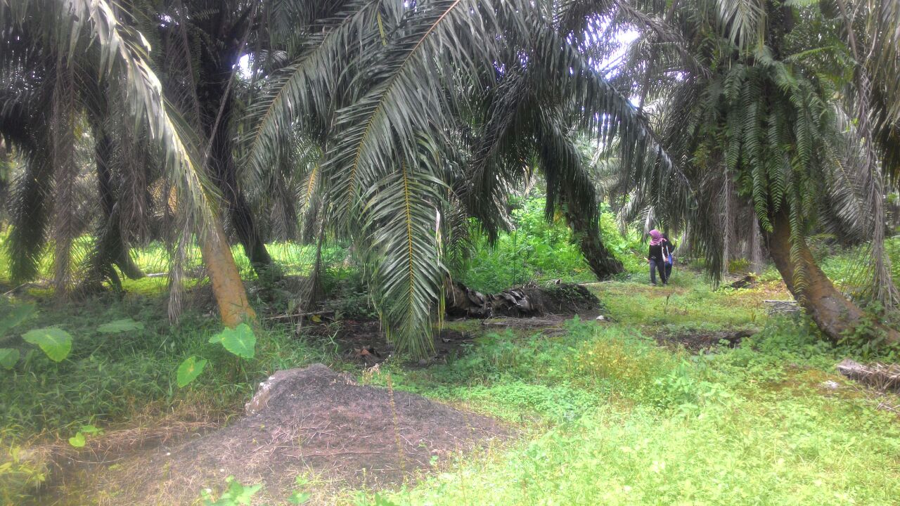
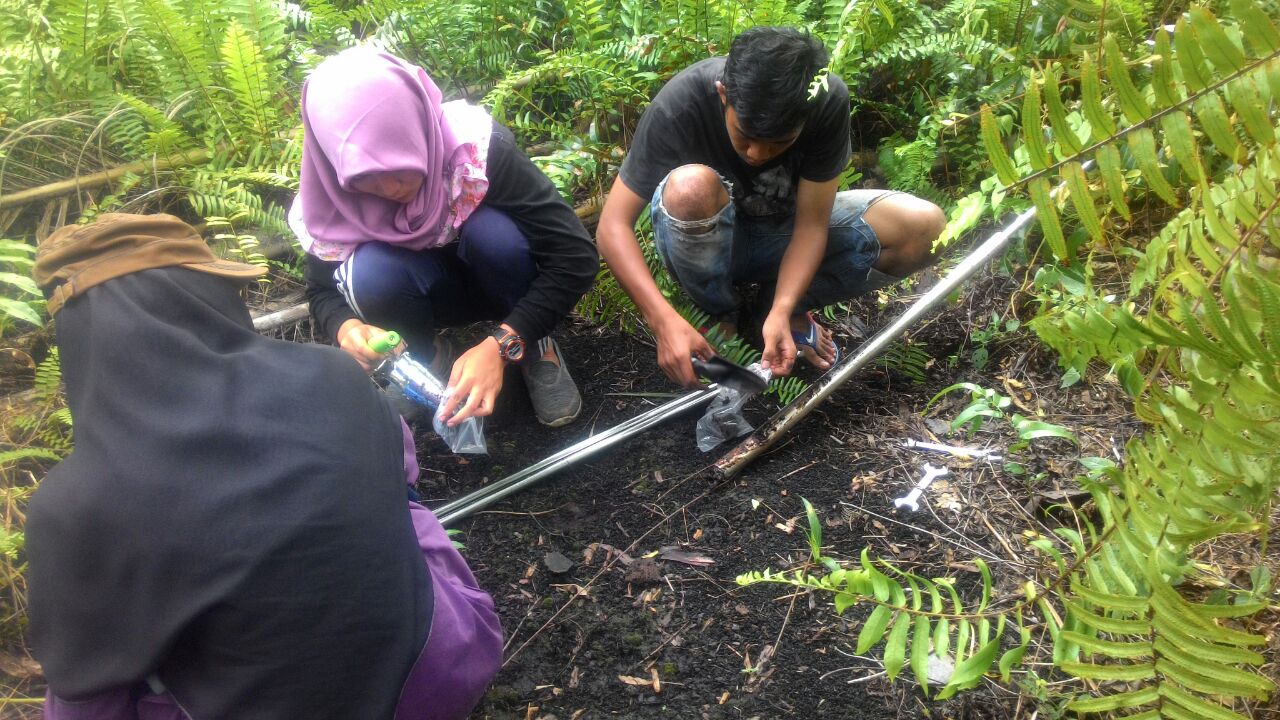
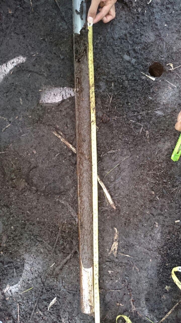
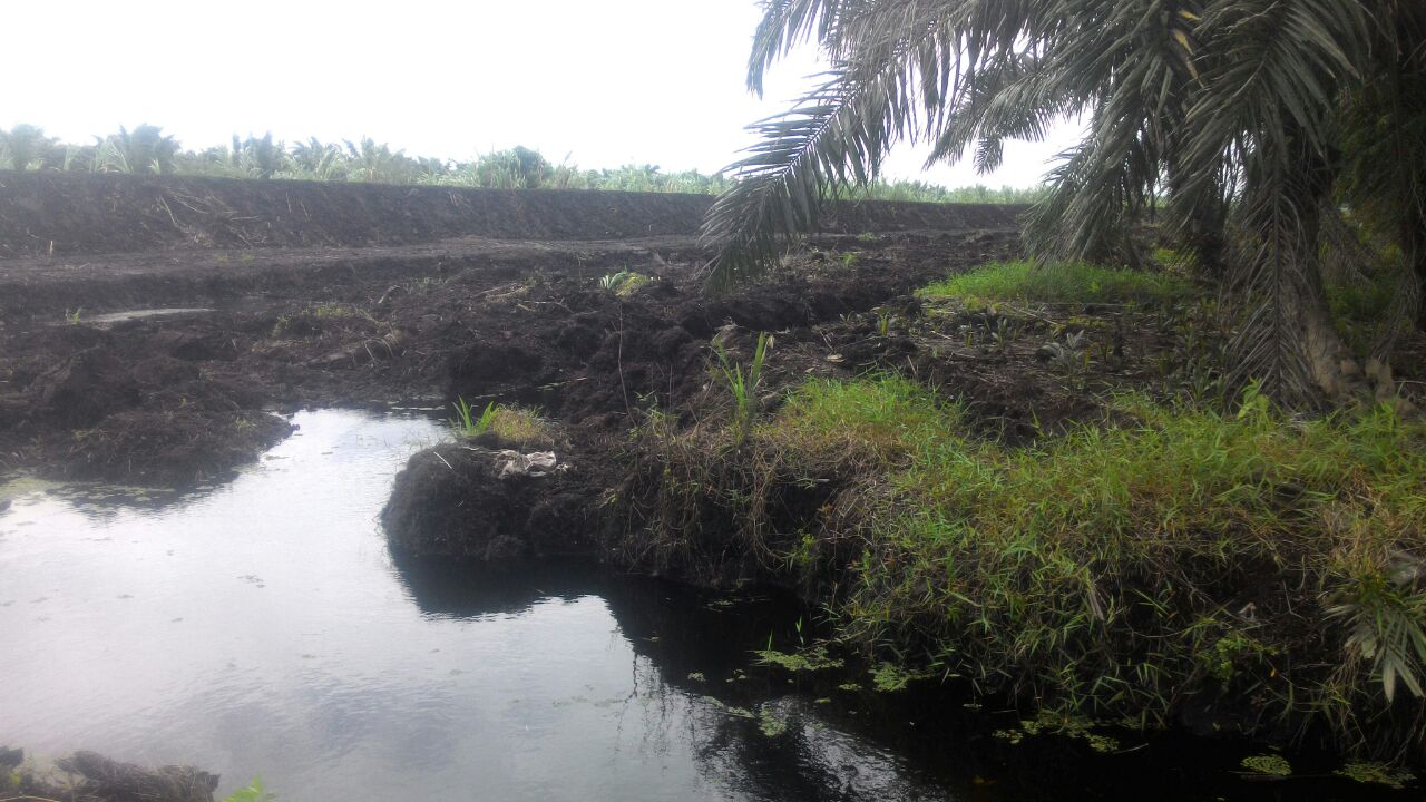
Prof. Dian Fiantis from Universitas Andalas collaborate with us (remotely) to map peatland in West Sumatra, an oil palm plantation with an area about 40,000 hectares. We helped designed the sampling locations by a stratified random approach. Students studied in the Soil Survey Course at Andalas were allocated to groups or zones. They located the sites using a hand held GPS and collected information on water table height and peat thickness using an auger.
Students will analyzed the data in the laboratory and GIS, with a final aim to generate a peat thickness map using DSM techniques.
Leave a Reply