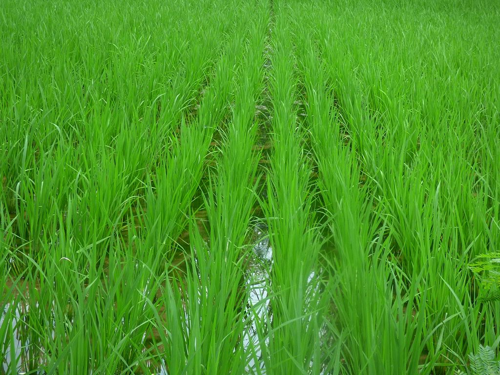
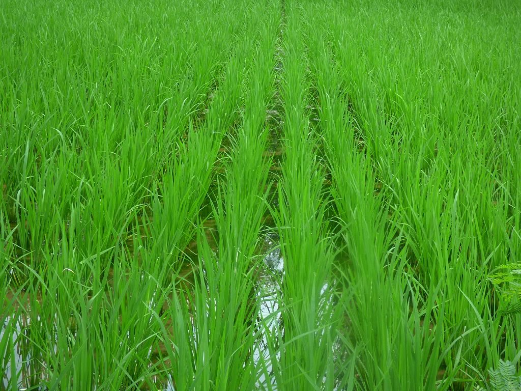
We wanted to map rice fields and their growth stages using satellites
Why? Over half the global population eats rice. Knowing how much rice is planted, and where it is planted, helps manage food security. We can know in advance if there’s going to be a rice shortage. At the moment, time-consuming and expensive field surveys are needed to map rice extent.
What we did was teach a computer to recognise different rice growth stages from satellite photos (Sentinel 1 radar data). Then, we compared its predictions with field-survey data.
We found that the computer could measure rice extent with 96.5% accuracy, however it underestimated rice extent by 14%. The computer could also forecast areas planted to rice for up to two months.
What we will do now is try to improve accuracy and predict yield.
Read the paper here


Leave a Reply