Digital soil mapping (DSM) involves a range of innovative software and modelling approaches to develop relationships between soil classes and individual properties and a number of environmental covariates. These relationships can then be used to predict the spatial pattern of soil classes and properties across the landscape.
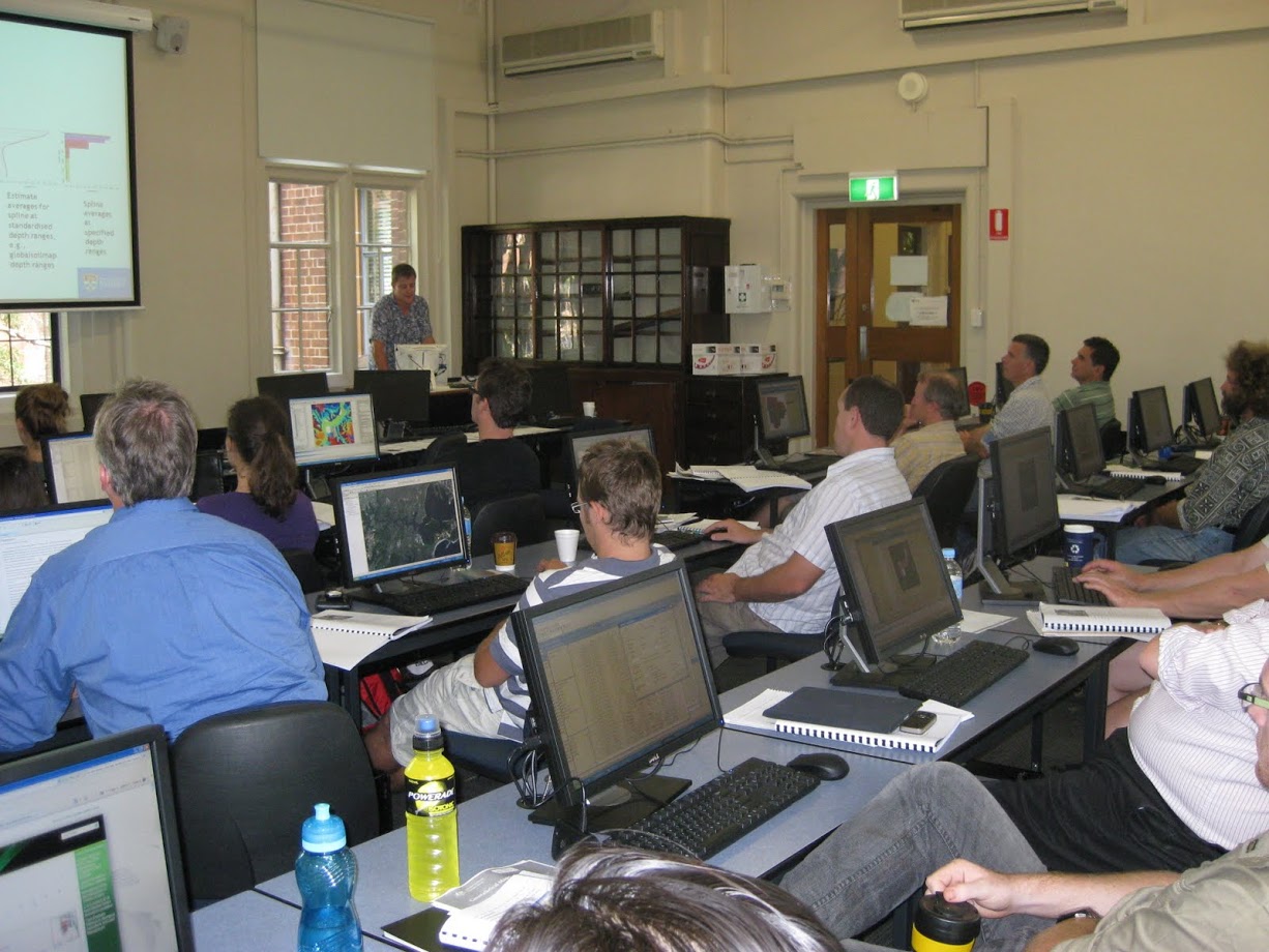
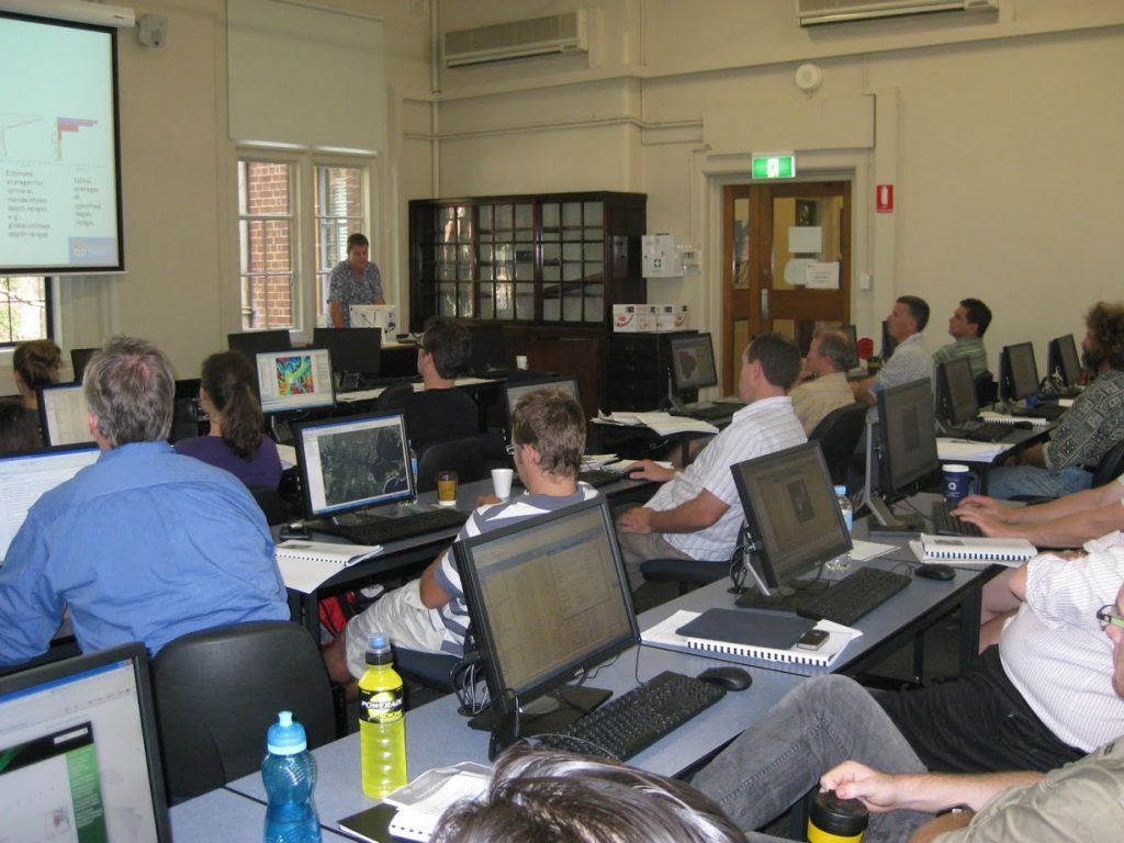
The Australian Collaborative Land Evaluation Program (ACLEP) arranged for the world leading Sydney University to deliver an introductory DSM training course to a number of federal and state agency representatives, 21-23 February 2011.
A total of 19 agency representatives from all states and territories (except the ACT) and Geosciences Australia and the CSIRO were involved. The three day technical course was developed and delivered by Sydney University lecturers Brendan Malone, Budiman Minasny and Ichsani Wheeler. Professor Alex McBratney added sessions on digital soil mapping concepts and principles and their application to GlobalSoilMap.
Whilst many of the concepts and software tools were new to participants most found the course lectures and hands on tutorials easy to follow. The course provided a well documented tutorial handbook as well as a collection of available software and training data sets. The challenge now is to progress the further use of these tools and approaches in participants own agencies and projects.
A number of DSM activities are already underway throughout Australia, including new ACLEP supported projects in Tasmania and the Northern Territory. The aim of ACLEP training is to facilitate development of skills and knowledge which will lead to improved soil related data sets and information products throughout Australia. The National Committee on Soil and Terrain Working Group on Digital Soil Assessment took the opportunity to meet during the training course. They will make recommendations on ways to progress digital soil mapping in Australia, through further training, cross-border and national collaborative projects and active involvement in the IUSS 5th Global Workshop on Digital Soil Mapping, Sydney Australia 10-13 April 2012.
See more photos at https://goo.gl/photos/orhVktz3RiweZDCb9


Leave a Reply